
Permafrost School Day 8: Scientific Tracks in Camp 'Tonuochaan' and Geo-Monitoring
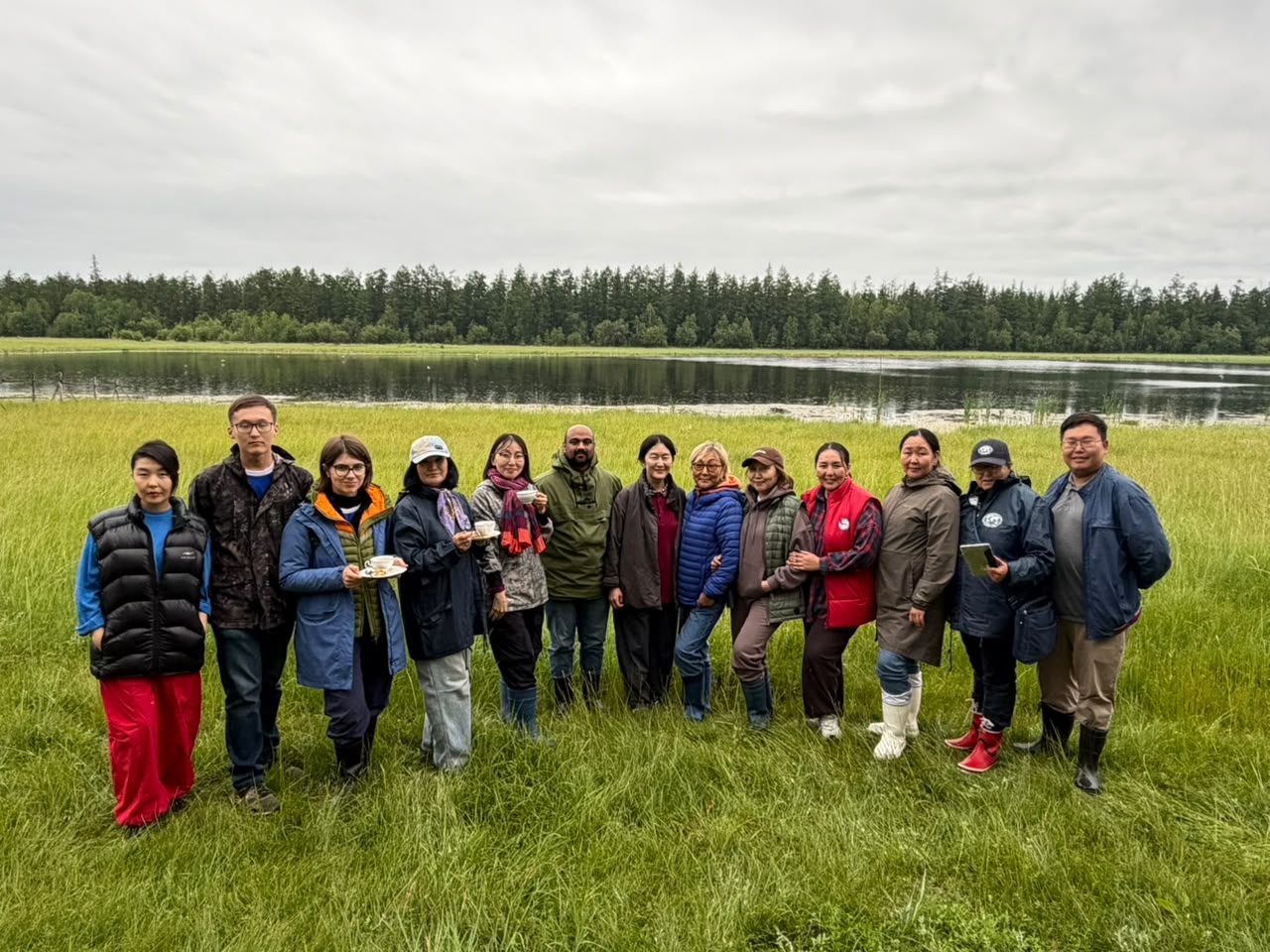
On Day 8 of the Permafrost School, students split into paleobotany, paleozoology, and geology research teams, learned GIS mapping, and established a new soil temperature monitoring point.
The eighth day of the Permafrost School in Yakutia was filled with intensive scientific work and hands-on workshops as part of the 'Tonuochaan' youth camp. The young researchers split into three specialized scientific teams: Paleobotany, Paleozoology, and Geology. Under the guidance of academic mentors from Saint Petersburg State University and regional scientific centers, they engaged in ecological education, studying evolution from the permafrost era to modern mammals using fossils and creative illustrations.
In addition to paleontological research, the students dipped their toes into digital geography. A specialized workshop on QuantumGIS (QGIS) taught them how to process vector and raster geographic data. By the end of the session, the kids had successfully digitized the local forest, the lake, and the buildings around the school grounds.
A key highlight of the day was the establishment of a new permafrost monitoring point. The team installed soil temperature sensors at a depth of 1.2 meters in a pristine section of native forest near the lyceum. This represents the first-ever historical permafrost monitoring station on the school's territory, serving as a long-term open-air natural laboratory.
The day also featured a creative gypsum souvenir workshop where students crafted handmade mementos to take home. Meanwhile, preparations began for the highly anticipated camp talent show, with teachers and mentors leading by example and practicing a coordinated dance performance.
### Shared Resources: - [Scientific Work Presentation Template (PPTX)](/activities/spbu-mirny/18July2026/Шаблон%20презентаций%20научных%20работ%20ТОНУОЧААН.pptx) - [Preliminary Research Topics of Students (DOCX)](/activities/spbu-mirny/18July2026/темы%20работ%20детей.docx)